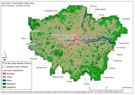
As part of my PhD I had to produce a land cover map for the Greater London area. I derived a simple land cover classification using the UKMap Basemap (which I previously used to generate the 3D London map). Click on the image below to see a larger version (1.8Mb at 300dpi).
I created the layers using PostGIS tables for each land cover type, based on the Basemap’s Feature Type Code (FTC), which classifies land use based on the National Land Use Database. Using separate tables also significantly improved rendering performance in Quantum GIS (QGIS), which I used for the cartography. I was impressed by QGIS’ ability to process and render such a detailed data-set (the Basemap contains ~11 million polygons for London).
